Skip to content

Combating Erosion of Citanduy Watershed

Reforesting Citanduy Watershed to Address Severe Erosion

Rapid development and unsustainable land use in the Citanduy watershed have caused severe erosion, leading to sedimentation that disrupts the river’s natural functions and reduces the size of Segara Anakan Delta downstream. Through our tree-planting program, we aim to reduce erosion, restore a healthy ecosystem, and improve the well-being of communities across the watershed. 
Project Progress
0%

Trees planted

10,010

Families helped

39

Total areas reforested

16.66 hectares

CO2 captured

1,557.72 tons CO₂e

Project started

2024 – now

Planting methods

Agroforestry

Bordering the provinces of Central Java and West Java, the Citanduy River stretches for 180 kilometers, flowing from its upstream source on Mount Sawal in Ciamis Regency, West Java, to its downstream in the Segara Anakan Lagoon in Cilacap Regency, Central Java. 

For generations, local communities have depended on the river, providing irrigation for agriculture and a vital source of freshwater. However, this crucial waterway – which passes through eight regencies across West Java and Central Java – now faces severe environmental challenges, making it one of the five most critical watersheds in Indonesia. 

The depletion of forest areas driven by rapid development and unsustainable land use, including land conversion for housing and other purposes, has caused widespread erosion within the watershed. This has led to severe sedimentation and siltation that diminish the river’s natural functions and send large volumes of sediment downstream into the Segara Anakan Delta. 

Research indicates that the Citanduy River contributes an alarming 0.74 million cubic meters of sediment annually to the downstream area of Segara Anakan — accounting for 74% of the total sediment entering the lagoon and significantly reducing its size. 

Location :

Guranteng and Kadipaten, Kadipaten District, Tasikmalaya Regency, Province of West Java.

Total area degraded :

90,100 hectares

Cause of degradation :

Extensive deforestation; unsustainable land use for agriculture expansion and residential.

Potential area for planting :

2,250 hectares

Planting density :

450,076 trees

Extensive Deforestation 

The Citanduy watershed is among Indonesia’s five most critical watersheds, facing severe deforestation and land degradation. Human-driven factors, such as agricultural expansion, aquaculture, population pressure, and unsustainable land management are the main causes of forest loss and land-use change. 

Erosion 

The loss of tree cover has left soil exposed and vulnerable to erosion, a long-standing issue that has reached critical levels in several areas. 

Siltation and Sedimentation 

Without forest cover, surface runoff increases, triggering flash floods and carrying heavy sediment downstream. As a result, the Segara Anakan Lagoon has rapidly shrunk due to excessive sedimentation, threatening its ecosystem and the livelihoods of local communities, primarily on fisheries. 

Empower Local Farmers

The tree-planting program involves 39 local farmers, empowering them to improve their harvests through agroforestry practices. 

Create Jobs

This tree-planting initiative creates jobs, employing local residents as field team members and seasonal nursery workers through seedlings production. 

Enhanced Environment Benefit to Local Communities

The initiative benefits the local community in a whole from enhanced environmental resilience, reduced erosion in the upstream, and siltation in the downstream. 

Mount Sawal is one of several mountains where the upstream of Citanduy river originated. This ecosystem is part of a vital water catchment area and biodiversity hub. 

At least 10 mammal species have been identified. These included to the Javan leopard (Panthera pardus melas), Javan gibbon (Presbytis comata), ebony langur (Trachypithecus auratus), crab-eating macaque (Macaca fascicularis), barking deer (Muntiacus muntjak), Javan porcupine (Hystrix javanica), Asian small-clawed otter (Aonyx cinereus), leopard cat (Prionailurus bengalensis), Javan stink badger (Mydaus javanensis), and wild boar (Sus scrofa). 


The watershed also hosts diverse tree species that support ecological balance and local livelihoods. These trees provide essential services such as water retention, soil stabilization, and carbon sequestration, while also non-forest product resources and food. Most of the tree species found are native tree species, including saninten (Castanopsis acuminatissima), sugar palm (Arenga pinnata), kemiri (Aleurites moluccanu), pala (Myristica fragran), petai (parkia speciosa) and picung (Pangium edule). 

Mount Sawal  

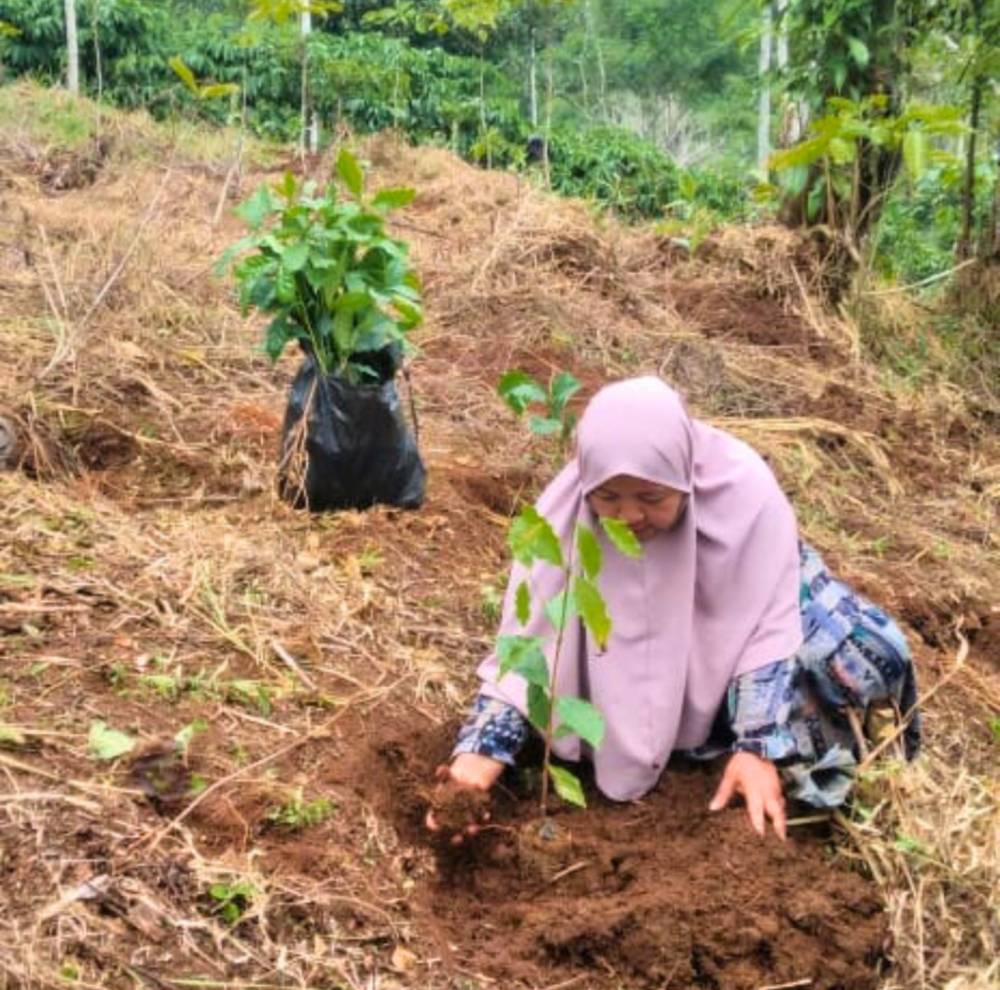
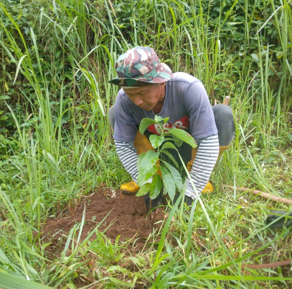
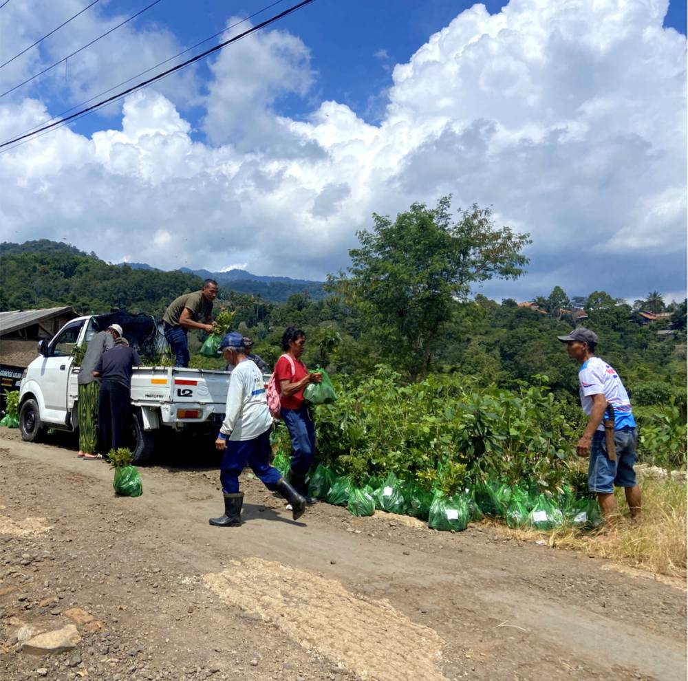
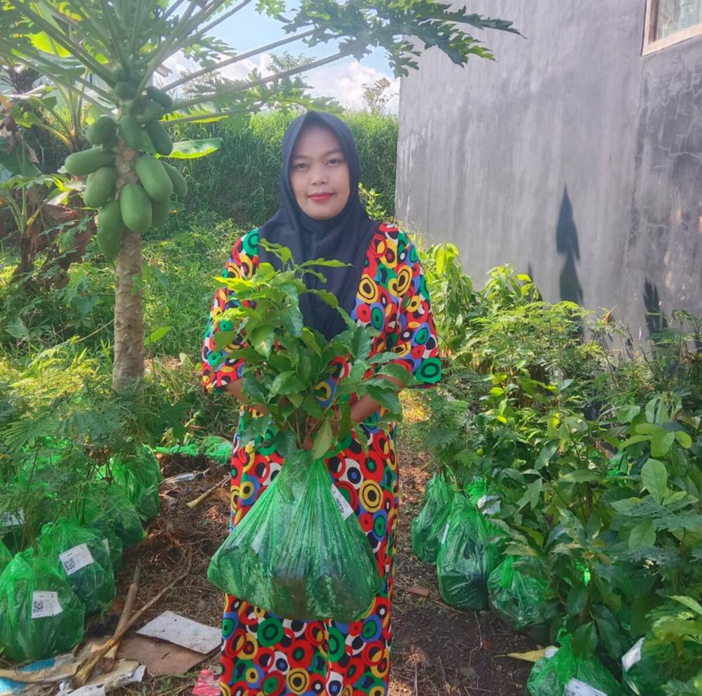
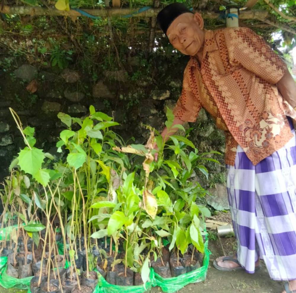
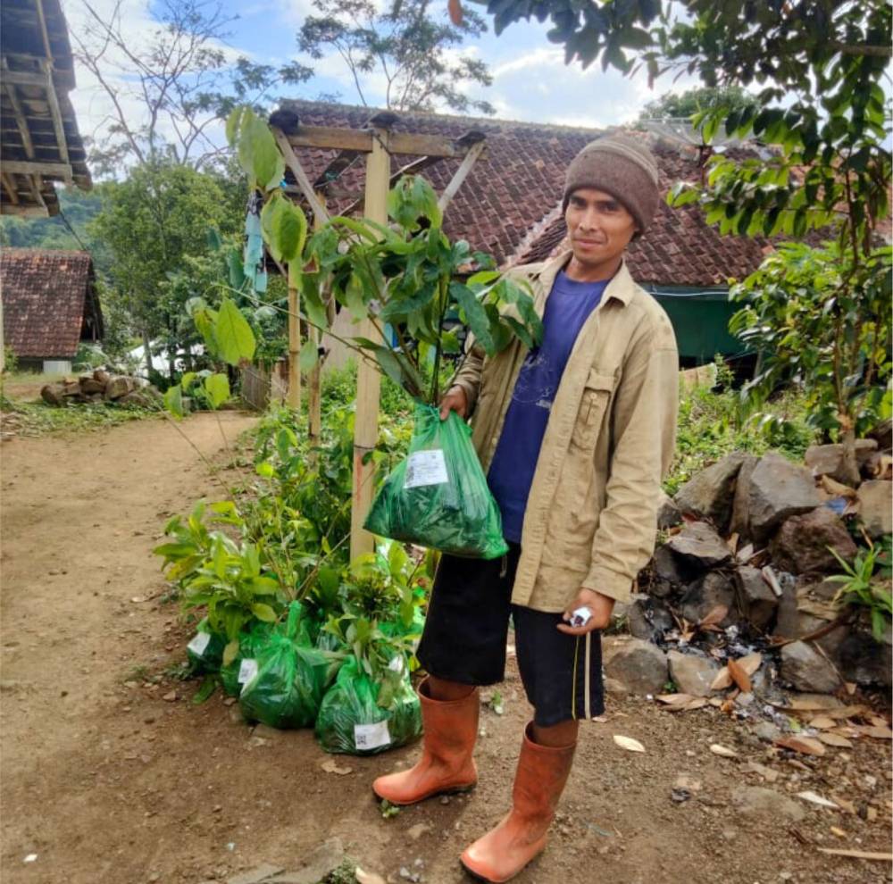
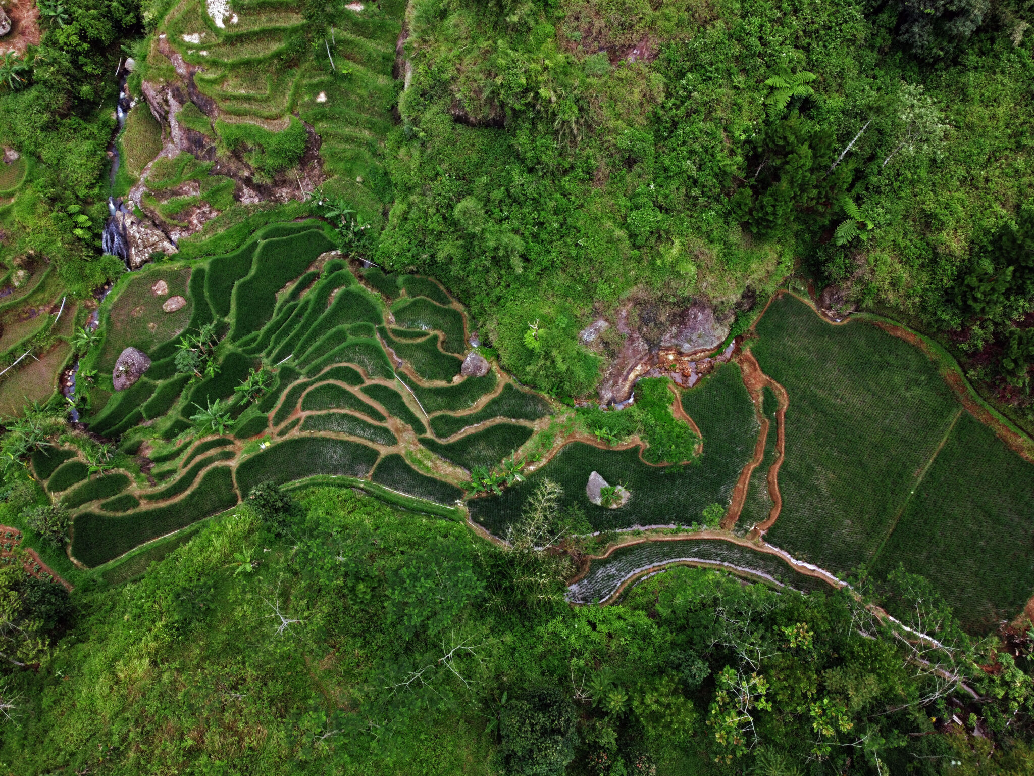
Mount Sawal is a vital part of the upper Citanduy Watershed (hulu Citanduy), which serves as a crucial water catchment area for many communities in West Java. Its rainforest ecosystem – protected under the Mount Sawal Wildlife Reserve – regulates water flow, sustains the Citanduy River, and provides essential habitat for endangered species such as the Javan Leopard. 

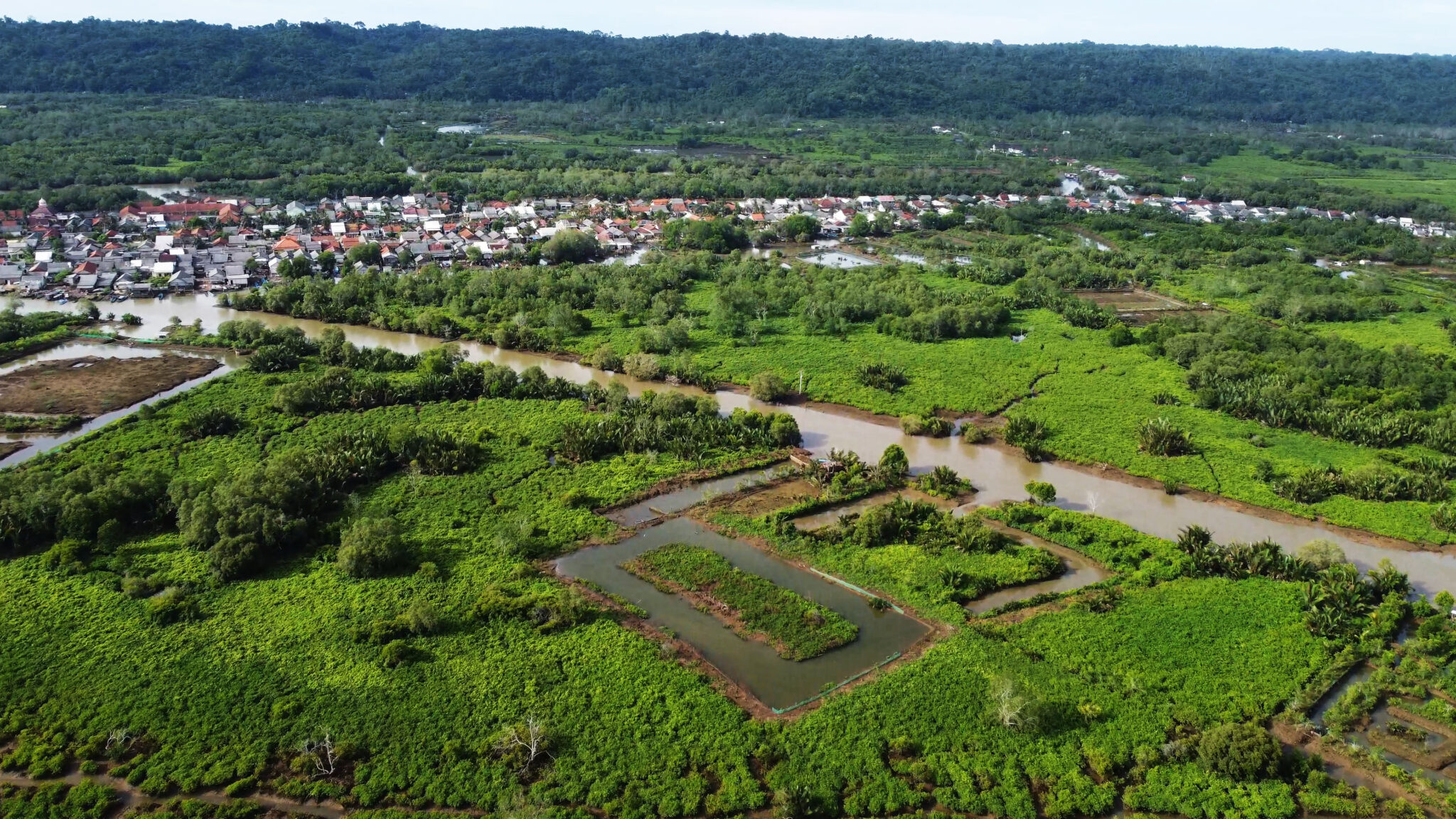
Ultimately, the ecological health of Mount Sawal determines the hydrological balance of the entire Citanduy Watershed and the survival of the downstream Segara Anakan Lagoon. 

Historical Purwaharja Panser 

Tank Baja Purwaharja, or the Purwaharja Panser, is the local name for the submerged remains of an armored vehicle – believed to be a Dutch-era tank or panser – partially buried in the Citanduy River near Purwaharja District. Visible only during the dry season, this relic is linked to stories from the Indonesian War of Independence (1945–1949), when it was reportedly abandoned after breaking down. 

Today, the Tank Baja Purwaharja stands as a powerful symbol of Indonesia’s resistance to colonialism and a lasting reminder of the region’s fight for independence. 

Karangkamulyan Archaeological Site 

Located in Karangmulyan Village, Ciamis Regency, within the lower Citanduy Watershed, this site holds great historical significance. It features remnants of an early Hindu-Buddhist community (7th–10th centuries AD) from the Galuh Kingdom, including stone structures, temple foundations, and statues of deities – showing its role as a major cultural and administrative center. 

Its strategic location between the Citanduy and Cimuntur Rivers underscores the importance of river transport in ancient times, contrasting sharply with today’s environmental degradation caused by heavy sedimentation. 

The initiative primarily aims to address severe erosion by reforesting the upper reaches of the Citanduy Watershed, which has been degraded by extensive deforestation. This reforestation effort is expected to reduce soil runoff that leads to sedimentation in the river and the downstream area of Segara Anakan. In doing so, the initiative will help restore the overall ecosystem and support local livelihoods that depend on both the watershed and the coastal area of Segara Anakan. 

Why Support This Project

  • Help prevent erosion in the upper stream of the Citanduy Watershed 
  • Contribute to reducing sedimentation and siltation, maintaining the river’s vital role in irrigation and providing freshwater for local communities. 
  • Support coastal communities around the Segara Anakan area who depend on healthy coastal ecosystems for fisheries. By reducing upstream erosion, the project lowers sedimentation downstream, improves water quality, and helps protect fish habitats and coastal livelihoods from the shrinking delta. 

Related Stories by Projects

Planting_Jaya Obayashi_2025_Trees4Trees (1)

From electricity consumption and infrastructure development to manufacturing and distribution,

Tantri Arda_T4T (2)

Unpredictable seasons, rising heatwaves, heavier rainfall, extreme floods, cyclones, and

cilacap mangrove batik_trees4trees_1004

Surrounded by over 8,000 hectares of coastal trees and wetlands,

T4T Annual Report 2024 (5)

In 2024, we celebrate 17 years of impact. Marking the

Mekarjaya Village’s

Nestled in the foothills of the Malabar Mountains in Bandung

Doc 2024 Kp Adat Cikondang_Trees4Trees 03

Indonesia, the world’s largest archipelago, is rich in cultural heritage

Subscribe Now

Get the latest updates on our tree-planting journey – sent directly to your inbox. 

By completing this form, you agree to receive our emails. You can unsubscribe at any time. 

Subscribe Now

Get the latest updates on our tree-planting journey – sent directly to your inbox. 

By completing this form, you agree to receive our emails. You can unsubscribe at any time.