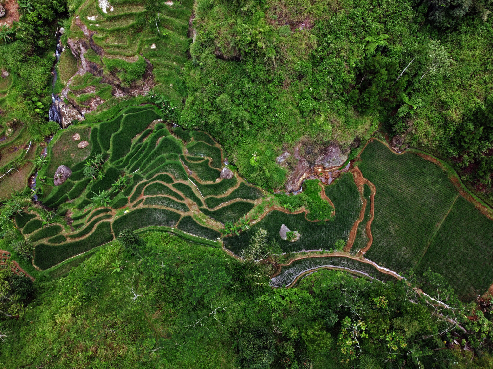
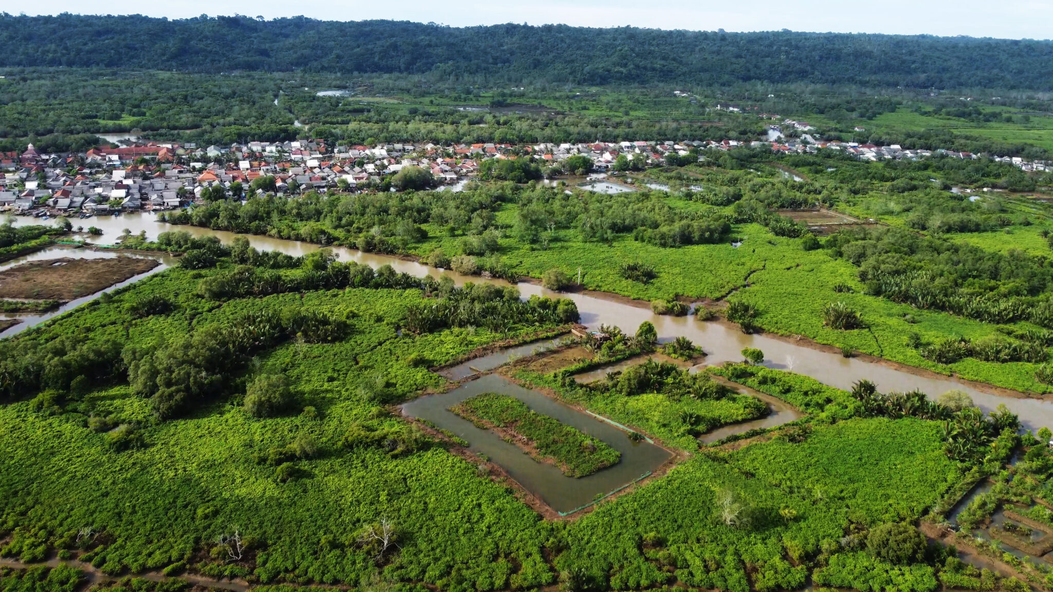
West Bali National Park
Located on the island’s northwestern tip, West Bali National Park is the most important conservation area in Bali, covering approximately 190 square kilometers of land and sea. The park directly borders the northern part of Melaya District, encompassing diverse ecosystems, including dry savannas, monsoon forests, and extensive mangrove stands.
The park plays a vital role in protecting the critically endangered Bali Starling (Leucopsar rothschildi), a species found only in Bali. It is also home to more than 160 bird species, as well as Javan rusa deer and banteng. Offshore, Menjangan Island features world-renowned coral reefs that attract divers and snorkelers from around the globe.
Cocoa World Producer
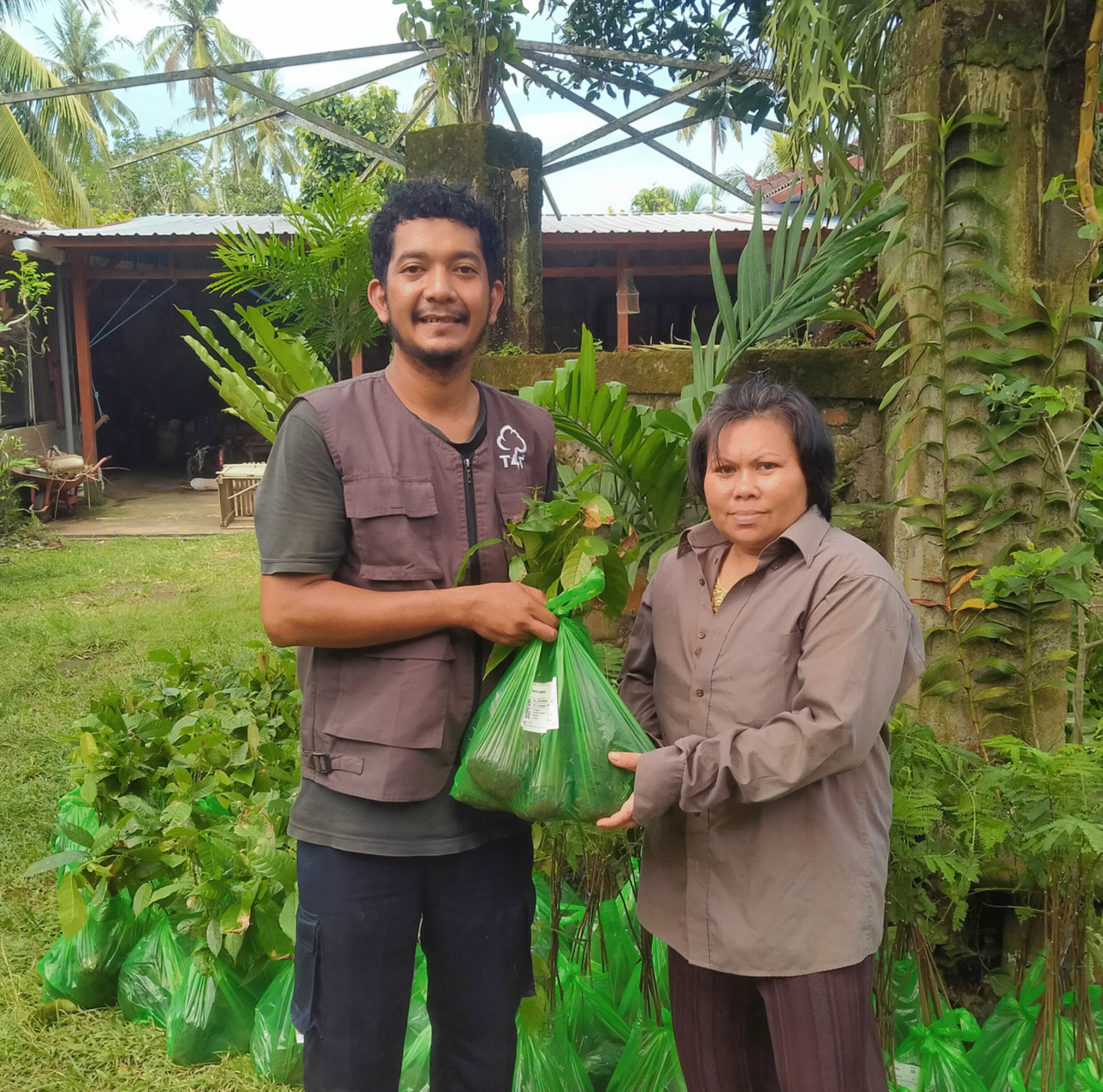
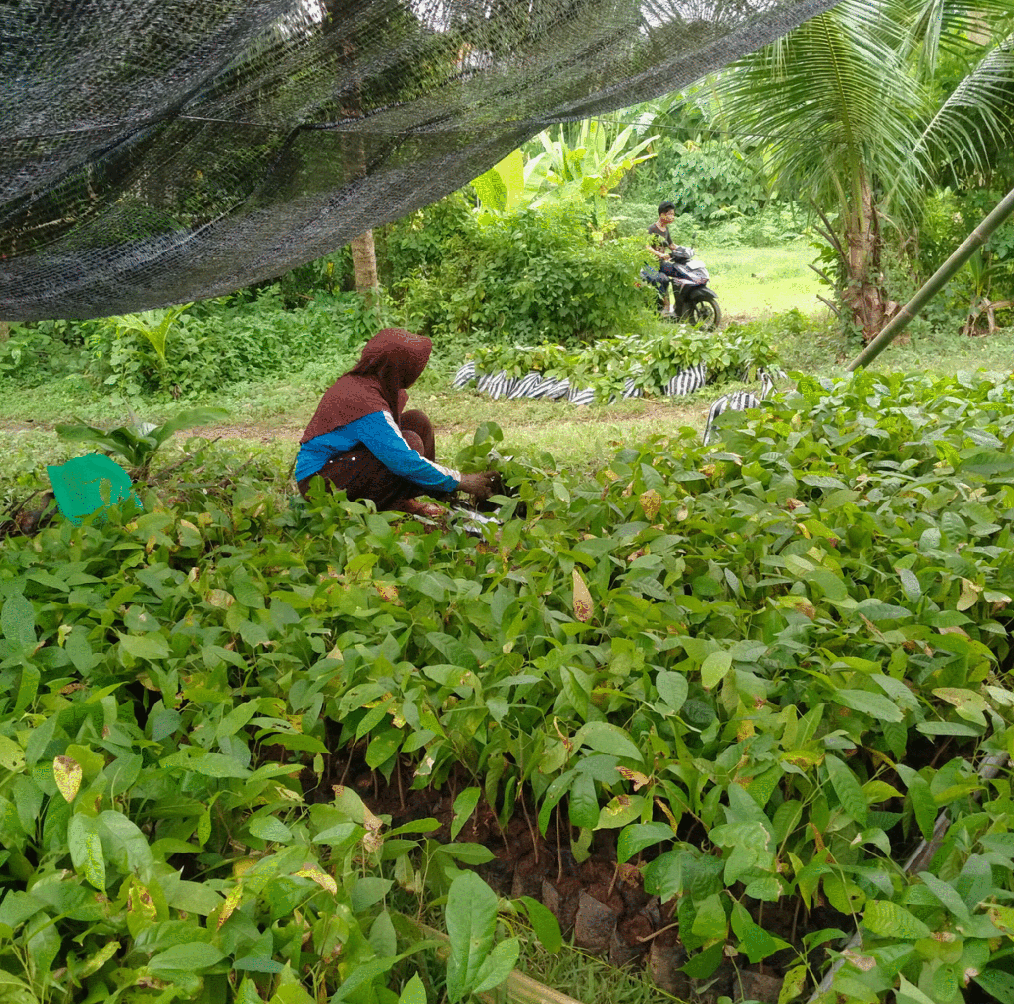
Cocoa beans from Jembrana, including those produced in Ekasari Village, one of our tree-planting areas, are internationally recognized for their high quality, rich aroma, and distinctive flavor, which make them successfully entered premium international markets.
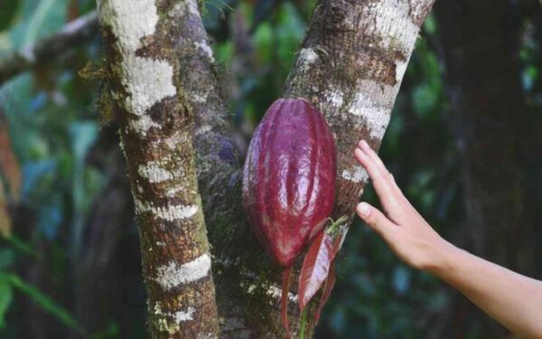
Ekasari Village is widely regarded as one of the largest and best cocoa-producing villages in Bali. Additionally, another village, which is also part of our planting areas, Candikusuma Village, also plays a vital role in Melaya’s cocoa production alongside Ekasari, contributing significantly to the district’s overall cocoa production volume.
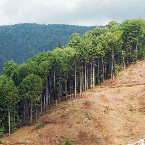
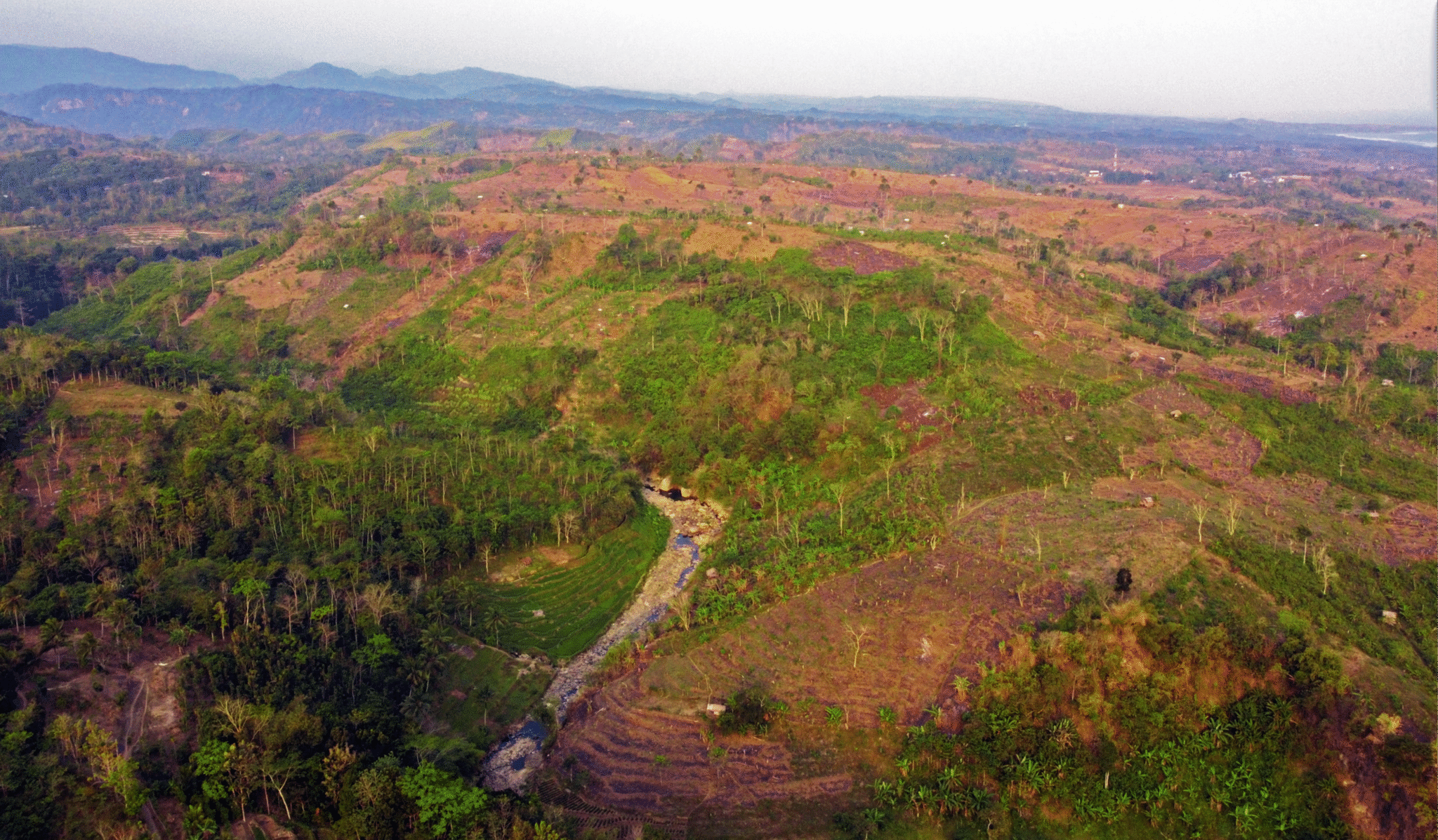
Largest Protected Forest in Bali
Among Bali’s regencies, Jembrana has the largest forest area, with 49% – approximately 41,307-hectare of its land, covered in forest, according to Ministry of Environment and Forestry (MOEF) in 2021. Most of these are protected forests, serving as habitats for diverse wildlife and sustaining water resources in the region.


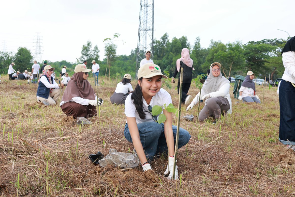
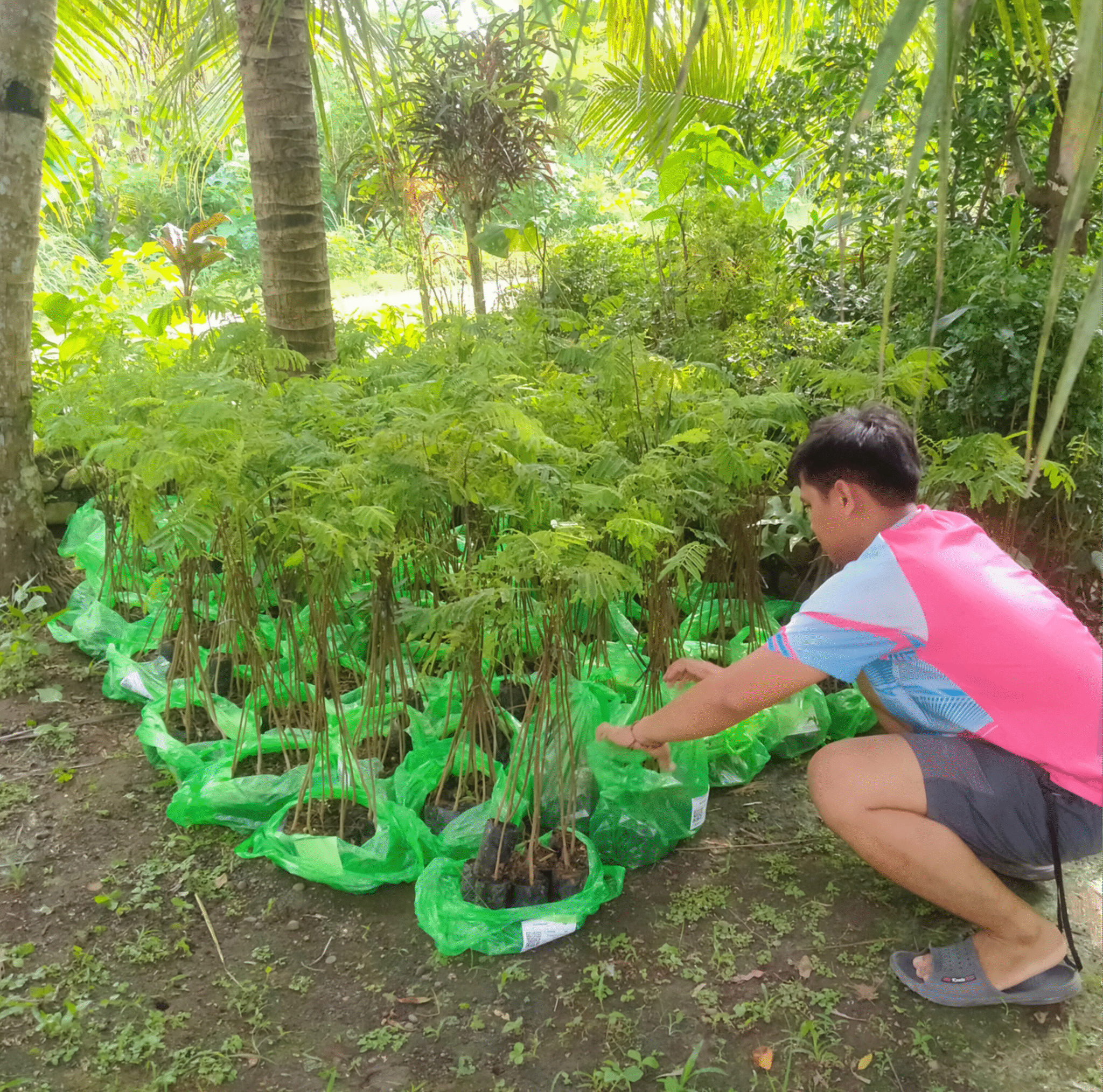
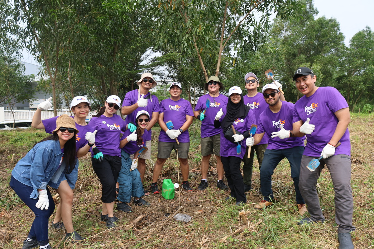
Balancing Industrial Growth with Urban Forest Planting

")
")

")

